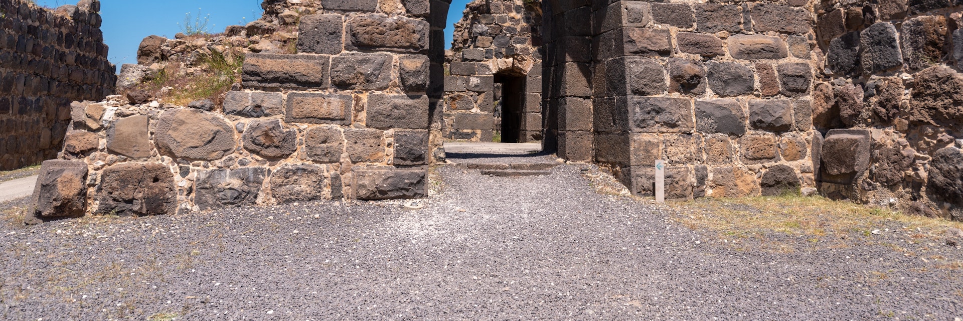
Set on a hilltop 550m above the Jordan River, this Crusader fortress, measuring an impressive 110m by 110m, consists of concentric ramparts, gates, courtyards and towers that afford spectacular views of the Jordan and Jezreel Valleys and Jordan’s Gilead Mountains. Highlights include a dining room topped by a Gothic vault, a huge stone cistern and, along the western side, a deep dry moat. It's noticeably cooler up here than in the valley below. There's excellent signage in English and Hebrew.
Built by the Knights Hospitaller starting in 1168, Belvoir (‘beautiful view’ in French; the Hebrew name, Kochav HaYarden, means ‘star of the Jordan’; the Arabic name, Kawkab Al Hawa, means 'star of the wind') was forced to surrender to Muslim forces in 1189 after a 1½-year siege. The defenders were permitted to retreat to Tyre unharmed, in acknowledgement of their courage.
The panoramic, 1.2km-long Wingate Trail, outlined with rocks, goes along the slope below the ruins. Posted maps explain what you're seeing on both sides of the border, including details on local plate tectonics and the route of the pre-1948 oil pipeline from Kirkuk (Iraq) to Haifa.
Next to the ruins stands a sculpture garden of works – made of cut-out steel plates – by the award-winning Israeli artist Yigal (Igael) Tumarkin (b 1933), creator of the Holocaust memorial on Tel Aviv's Rabin Sq.
Belvoir is 20km north of Beit She'an and 20km south of the Sea of Galilee, 6km off Rte 90 along a one-lane road.


