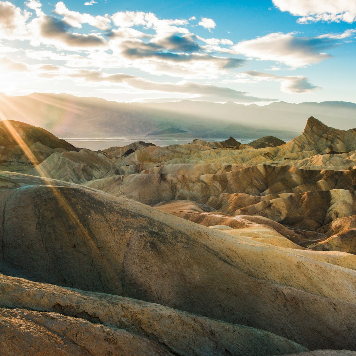
The most accessible dunes in Death Valley are an undulating sea of sand rising up to 100ft high next to the highway near Stovepipe Wells Village. They're at their most photogenic at sunrise or sunset when bathed in soft light and accented by long, deep shadows. Keep an eye out for animal tracks. Full-moon nights are especially magical.
Mesquite Flat Sand Dunes
Top choice in Death Valley National Park
Lonely Planet's must-see attractions

17.16 MILES
The very name evokes all that is harsh, hot and hellish – a punishing, barren and lifeless place of Old Testament severity. Yet closer inspection reveals…

21.37 MILES
Not many national park features can say they were celebrated in a 1969 film of the same name, but Zabriskie Point claims that honor thanks to director…

17.7 MILES
Named for a lucky French miner who struck gold at the nearby Eureka Mine, Aguereberry Point sits at a lofty 6433ft above the desert floor and delivers…

25.42 MILES
Past the northern end of Hwy 190, it's slow going for 27 miles on a tire-shredding dirt road (high-clearance and 4WD usually required) to the eerie…

25.33 MILES
Just outside the Death Valley eastern park boundary (about 35 miles from Furnace Creek), Rhyolite epitomizes the hurly-burly, boom-and-bust story of…

24.93 MILES
Near the ghost town of Rhyolite, just east of Death Valley National Park, this outdoor sculpture park was begun in 1984 by the late Belgian artist Albert…

25.41 MILES
Emigrant Canyon Rd climbs steeply over Emigrant Pass for the turnoff to Wildrose Canyon Rd and a lineup of 10 large beehive-shaped charcoal kilns made of…

27.9 MILES
Some 15 miles south of Furnace Creek, salt has piled up into saw-toothed miniature mountains in what was once a major lake that evaporated about 2000…
Nearby Death Valley National Park attractions
3.52 MILES
Just east of Stovepipe Wells Village, Hwy 190 passes through this plain that is not studded with corn but with clumps of arrow weed, an evergreen used by…
12.41 MILES
Some 6 miles southwest of Stovepipe Wells, Emigrant Canyon Rd veers off Hwy 190 and travels south to the park's higher elevations. En route you'll pass…
16.14 MILES
Just north of Furnace Creek, a 0.5-mile interpretive trail follows in the footsteps of late-19th-century Chinese laborers and through the adobe ruins of…
17.16 MILES
The very name evokes all that is harsh, hot and hellish – a punishing, barren and lifeless place of Old Testament severity. Yet closer inspection reveals…
17.31 MILES
On the grounds of the Ranch at Death Valley, this outdoor museum illustrates Death Valley's connection to borax mining, and presents pioneer-era mining…
17.7 MILES
Named for a lucky French miner who struck gold at the nearby Eureka Mine, Aguereberry Point sits at a lofty 6433ft above the desert floor and delivers…
18.07 MILES
In the Panamint Mountains, this gold mine was discovered by French immigrant Pete Aguereberry in 1905 and worked by him until the early 1930s. The mine…
21.37 MILES
Not many national park features can say they were celebrated in a 1969 film of the same name, but Zabriskie Point claims that honor thanks to director…