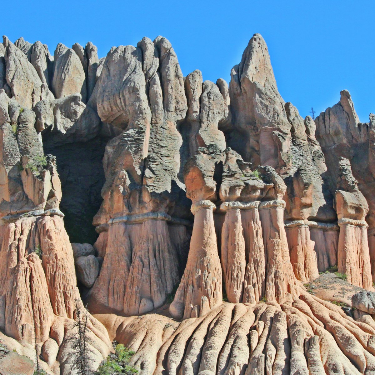
In AD 1270 a catastrophic earth flow moved almost 5 miles down the mountainside and dammed the Gunnison River to form Lake San Cristobal, Colorado’s second-largest lake. The land is still moving, but it has slowed down, advancing between 2ft and 20ft per year. It’s best viewed in the morning from Windy Point Overlook, south of Lake City off Hwy 149, at 10,600ft.
This active section of the slide, whose name comes from the yellowish mud’s resemblance to the watery miner’s stew, is mostly barren, and spotted in patches with forests of crooked trees. Another good view is from the top of Cannibal Plateau Trail (USFS Trail 464), the site where prospector Alfred Packer is said to have eaten his companions for dinner. The trailhead is below Slumgullion Campground, off Cebolla Creek Rd.

